Table of Contents
The tallest mountain on earth
- English : Mount Everest
- Nepali: Sagarmathaसगरमाथा
- Tibetan: Chomolungma
- Chinese: Zhumulangma
Location
- Mahalangur Himal
- महालङ्गूर हिमाल
- Range of the Himalayas

Border agreement
- The China – Nepal boundary traverses the Great Himalaya Range, the highest mountains in the world.
- They had a brief border dispute shortly before 1960.
- They resolved this by officially signing a border agreement in 1961.
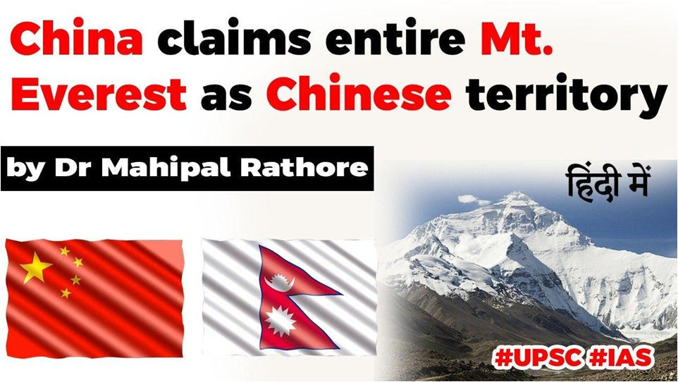
- In this agreement, it was agreed at the head of state level, that the northern side of Mt. Everest would be Chinese territory and the southern side be Nepalese.
China’s Expedition to measure the Everest
- May 2020 – A Chinese team aims to re- measure the height of Mount Qomolangma.
- The peak’s height had been previously measured by China in 1975 and 2005, respectively.


5G at 6500m
- On April 29, China (Huawei) opened the world’s highest 5G tower on north side of Mt. Everest in Tibet.
- This cellular tower is located at the mountain’s advance base camp with an elevation of 6,500 meters. It will cover the north side including the peak.
- Its operation will provide support for activities like scientific research and environment monitoring, rescuing workers and researchers.
- Potential for snooping into Nepal and India.
Why this sudden interest in Everest?
- China trying to consolidate position in Tibet by highlighting Mt. Everest as ‘Chinese’.
- The Everest on the Tibet side is treacherous and very less used (even by the Chinese).
- There is no trace of tourism from that side, as it is very steep and also visa is an issue.
- All the tourism money (USD 11,000 climbing permit) from Everest goes to Nepal.

- China is back at it
The usual show of aggression in disputed areas


Recent aggressive activities
- South China sea
- Everest
- Sikkim – Army scuffle
Latest Burning Issues | Free PDF


 WhatsApp