Table of Contents

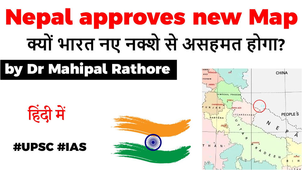
Nepal’s new map
- Nepal’s cabinet has endorsed a new political map showing Lipulekh, Kalapani and Limpiyadhura under its territory, amid a border dispute with India.
- Nepal’s ruling Nepal Communist Party lawmakers have also tabled a special resolution in Parliament demanding return of Nepal’s territory in Kalapani, Limpiyadhura and Lipulekh.


The Region
- The Lipulekh pass is a far western point near Kalapani.
- The area falls in the Trijunction between India, China and Nepal.
- Both India and Nepal claim Kalapani as an integral part of their territory – India as part of Uttarakhand’s Pithoragarh district and Nepal as part of Dharchula district.
MAP


Different Interpretations
- The source of the dispute can largely be distilled down to the source of the Mahakali river.
- Nepal says the river originates at Limpiyadhura, near Lipulekh, and flows southwest,
- India says that the river originates in Kalapani and flows south and slightly east.
- The new map was drawn by Nepal on the basis of the Sugauli Treaty of 1816 signed between Nepal and then the British India government and other relevant documents, which suggests Limpiyadhura, from where the Kali river originated, is Nepal’s border with India.
- According to Nepal government, the updated map of the country will be used everywhere, including on textbooks, the government’s seal, and for all administrative works.
Why a new map?
- Political pressure on Oli Govt. from opposition, citizen groups of Nepal.
- The Ruling Nepal Communist Party (NCP) is seen to be close to China
- KP Sharma Oli’s history in Mahakali river treaty of 1996.
Latest Burning Issues | Free PDF


 WhatsApp