Table of Contents
DID YOU KNOW?
- Oceans Make up of 70% of the Earth.
- Oceans provide more than half the oxygen we breathe.
DID YOU KNOW?
- Moon is Completely Mapped
- Mars is Completely Mapped
- WHY ISN’T THE OCEAN SURFACE OF THE EARTH MAPPED?

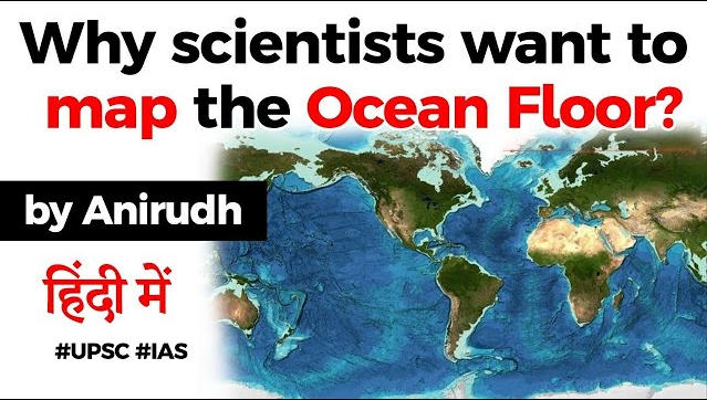
- Announcing a new milestone in the history of marine exploration, an international collaboration of researchers said on June 21 that it had finished mapping nearly one -fifth of the world’s ocean floor .

WHO HAS TAKEN THE PROJECT?
- The Nippon Foundation-GEBCO Seabed 2030 Project, which is coordinating efforts to complete the mapping of the entire ocean floor by 2030, said on World Hydrography Day (June 21) that it had added 1.45 crore square kilometres of new bathymetric data to its latest grid.
THE SEABED 2030 PROJECT
- The global initiative is a collaboration between Japan’s non-profit Nippon Foundation and the General Bathymetric Chart of the Oceans (GEBCO).
- As per its website, GEBCO is the only intergovernmental organisation with a mandate to map the entire ocean floor, and traces its origins to the GEBCO chart series initiated in 1903 by Prince Albert I of Monaco.


LETS TALK NUMBERS….
- It was launched in 2017. At the time, only 6% of the global ocean bottom had been surveyed to what might be called modern standards. That number now stands at 19%, up from 15% in just the last year. Some 14.5 million sq km of new bathymetric (depth) data was included in the GEBCO grid in 2019 – an area equivalent to almost twice that of Australia.

WHY IS THE STUDY OF THE OCEAN FLOOR IMPORTANT?
The knowledge of bathymetry — the measurement of the shape and depth of the ocean floor — is instrumental in understanding several natural phenomena, including ocean circulation, tides, and biological hotspots. It also provides key inputs for navigation, forecasting tsunamis, exploration for oil and gas projects, building offshore wind turbines, fishing resources, and for laying cables and pipelines.

FOR DISASTER MANAGEMENT…
This data becomes highly valuable during disaster situations. According to an expert who spoke to Science Magazine, thanks to the previously mapped seafloor, scientists in Japan were able to reconstruct the forces behind the destructive 2011 Tohoku earthquake.
FOR SEARCH OF MISSING THINGS…
As per a Seabed 2030 document, “The need for a bathymetric base map of the south-eastern Indian Ocean also became particularly evident in the search for the Malaysia Airlines flight MH370, which disappeared 8 March 2014.”
FOR CLIMATE CHANGE
Importantly, the maps would also ensure a better understanding of climate change, since floor features including canyons and underwater volcanoes influence phenomena such as the vertical mixing of ocean water, and ocean currents — which act as conveyor belts of warm and cold water, thus influencing the weather and climate. Climate change has impacted the flow of these currents, and more knowledge about them would help scientists create models forecasting the future behaviour of the climate, including sea-level rise.

USEFUL FOR SDGS
A map of the entire global ocean floor would also help further achieve the United Nations Sustainable Development Goal to conserve and sustainably use oceans, seas and marine resources.

WEREN’T THE SATELLITES HELPFUL?
- It’s not true to say we have no idea of what’s in the black zones; satellites have actually taught us a great deal. Certain spacecraft carry altimeter instruments that can infer seafloor topography from the way its gravity sculpts the water surface above – but this only gives a best resolution at over a kilometre, and Seabed 2030 has a desire for a resolution of at least 100m everywhere.

Latest Burning Issues | Free PDF


 WhatsApp