Table of Contents
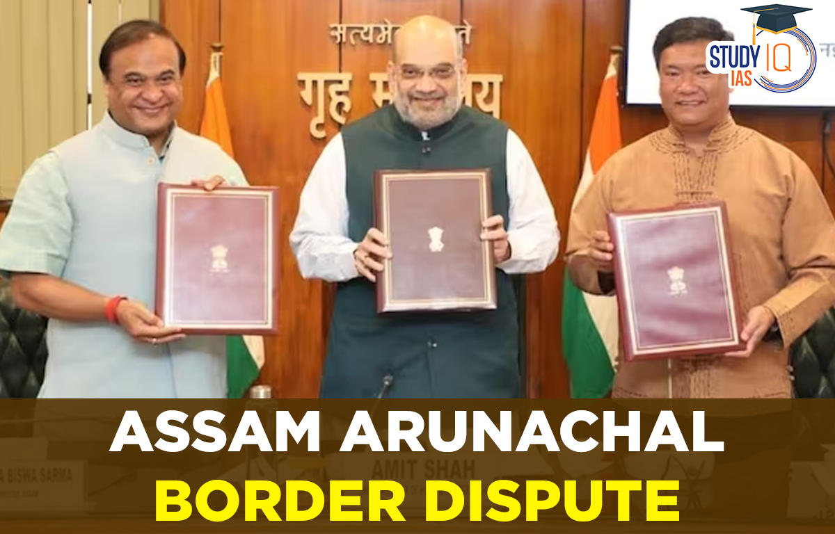
Context: The Assam and the Arunachal Pradesh governments have signed an agreement in presence of Union Home Minister to resolve their five-decade-old border dispute.
Key Highlights of the Agreement
- The two states share a roughly 800-kilometre-long border and the disputed areas the agreement deals with are 123 border villages, which span 12 districts of Arunachal Pradesh and 8 districts of Assam.
- As per the agreement, out of 123 villages, 71 have been amicably resolved so far. This includes 37 villages resolved through the Namsai Declaration on 15th July 2022 and 34 villages through this current agreement.
- This will be final agreement neither of states will make any new claim in future relating to any area or village.
- A detailed survey will be conducted by the Survey of India in the presence of representatives from both state governments to determine the boundaries after the agreement.

About the Assam-Arunachal Pradesh Border Dispute
- Origin of the dispute: The roots of the dispute traces back to 1954, when Northeast Frontier Agency or NEFA (former name of what is now Arunachal Pradesh) was carved out of Assam.
- In 1951, a sub-committee led by then Assam Chief Minister Gopinath Bordoloi submitted recommendations on NEFA’s administration.
- As per the report, around 3,648 km of “plain” area in Balipara and Sadiya foothills were transferred from NEFA to Assam’s Darrang and Lakhimpur districts.
- In 1972, when Arunachal Pradesh became a Union Territory, it claimed that certain forested areas in the plains, which were historically under the ownership of tribal chiefs and communities, were illegally transferred to Assam.
- Previous efforts to resolve the border dispute:

What are the other major Inter-State Border Disputes in India?
| State/UT | State/UT | Disputed Area | Reason for Dispute |
| Karnataka | Maharashtra | Belagavi, Karwar, Nipani | State boundaries based on linguistic lines in 1956 |
| Assam | Mizoram | Lushai Hills district | British-era notifications in 1875 and 1933 |
| Haryana | Himachal Pradesh | Parwanoo region | Claim over parts of land |
| Himachal Pradesh | Ladakh | Sarchu area | Claim over strategic area on route between Leh and Manali |
| Meghalaya | Assam | Mikir Hills district | Challenging North-Eastern Areas (Reorganisation) Act, 1971 |
| Assam | Nagaland | Naga-dominated areas | Boundary delineation and demands for inclusion of areas |
Reasons why the Inter-State Border Disputes Remain Unsolved?
- Geographical Complexity: Geographical complexities, such as rivers, hills, and forests straddling two states, can make it difficult to physically mark borders.
- For example, colonial maps had left out large tracts of the northeast outside Assam as “thick forests” or marked them “unexplored”.
- Linguistic Idea of Reorganization: Although the States Reorganization Commission, 1956 was based on administrative convenience, states reorganized largely resembled the idea of one language one state.
- Political Interference: Border disputes often become politicized, with politicians using them to further their own interests. This can make it difficult to reach a mutually acceptable solution.
- Neglect of Indigenous Communities: Indigenous communities were not adequately considered during the demarcation of state boundaries. The boundaries were primarily drawn for administrative convenience, and the needs of these communities were often ignored.
Variety of mechanisms to resolve Inter-State Disputes in India
- The judicial mechanism – article 131: It confers on the Supreme Court of India, exclusive jurisdiction to deal with disputes involving legal rights. This article covers any dispute
- between the Government of India and one or more States; or
- between the Government of India and any State or States on one side and one or more other States on the other; or
- between two or more States.
- Disputes relating to water: Under article 262 of the Constitution, it is permissible for Parliament, by law, to provide for the adjudication of disputes relating to inter-State rivers or river-valleys.
- Accordingly, parliament enacted the Inter-State River Water Disputes Act, 1956.
- According to the Act, if a State Government makes a request regarding any water dispute and the Central Government is of opinion that the water dispute cannot be settled by negotiations, then a Water Disputes Tribunal is constituted for the adjudication of the water dispute.
- Inter-State Council: Article 263 of the Constitution empowers the President to establish an Inter-state Council if it appears that the public interests would be served by such a Council.
- It serves as a forum for discussion and resolution of disputes between states, as well as for investigating and discussing subjects of common interest among states or between the Union and one or more states.
- In 1990, the Inter-state Council was established through a Presidential Order. In 2021, the Council was reconstituted.


 WhatsApp