Table of Contents

EARTH QUAKE WARNING
- In an earthquake, two types of waves get generated P and S waves. The speed of P waves is about 3 km/s while S waves travel at half the speed of the P waves. And the damage done by the P waves is much smaller compared to S waves, thus the moment one detects arrival of P waves, one can issue a warning.


P- WAVES
- The effectiveness of advance warning depends on accurate detection of the P-waves and rejection of ground vibrations caused by local activity (such as trucks or construction). Earthquake early warning systems can be automated to allow for immediate safety actions, such as issuing alerts, stopping elevators at the nearest floors and switching off utilities.
NASA’S IDEA
- Since all our early warning Earthquake systems are based on Earth, NASA thought perhaps it is time to change and create a new alert system that will function from the sky

WHAT NASA SAID
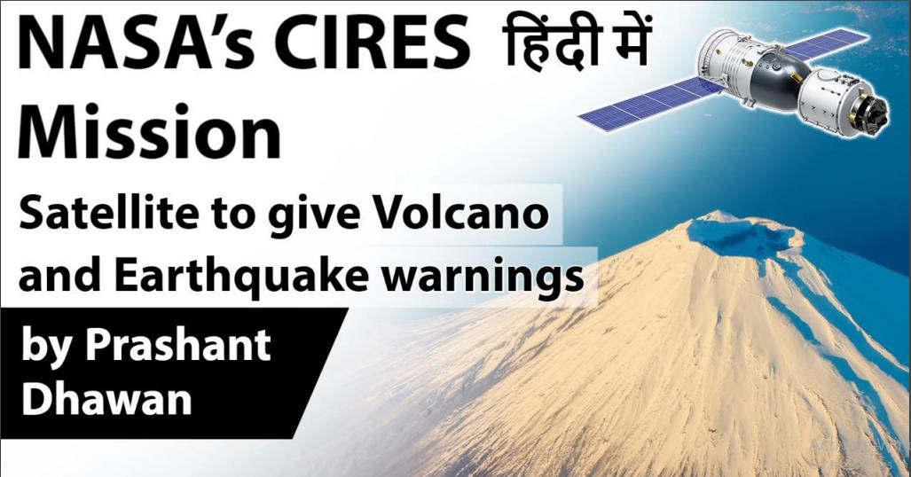
- According to NASA, CIRES is “designed to detect each time the volcano took a breath, as its caldera swelled and deflated.” The US space agency tested the technology on 4 July, 2018 by flying over the Kilauea Volcano in Hawaii. A team used CIRES radar and was able to create a detailed map of the changes in terrain that is caused by the volcano’s eruption.
NOTES
- CubeSat Imaging Radar for Earth Sciences (CIRES) will be designated to provide help to the decision-makers to be prepared to deal with the disaster. The data available from interferometric synthetic aperture radar (InSAR) can also help in identifying the location of the disaster.
- As per NASA, CIRES is equipped with an S-band Interferometric Synthetic Aperture Radar (InSAR). The S-band radar allows it to penetrate through vegetation and reach the surface. CIRES then takes two radar images of a specific area from approximately the same position in space at two different times. It processes the two images to determine the difference between them.


CONCLUSION
- Although this mission is still in the works, it gives us an indication about where the science and technology of early Earthquake monitoring is going
- ISRO should act on this particular idea and launch their own version of “CubeSat Imaging Radar for Earth Sciences”
ADVANTAGES IT CAN GIVE INDIA
- South Asia is home to many fault lines and it will not be a huge surprise if we see some major earthquakes in the region in the coming decades
- If ISRO develops this technology of early Earthquake detection, it can increase India’s importance in the region even more as a provider of security from/during natural calamities

Latest Burning Issues | Free PDF


 WhatsApp