Table of Contents
GOVT RELEASES NEW POLITICAL MAP OF INDIA SHOWING UTS OF J&K, LADAKH


WHAT JUST HAPPENED
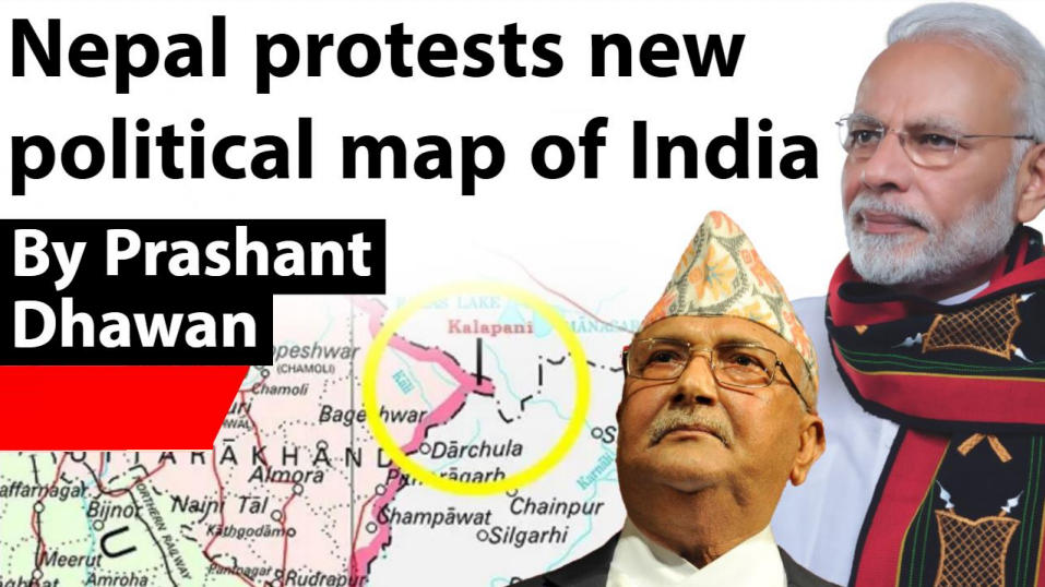
- Nepal recently formally protested over the inclusion of the region of Kalapani in the new political map of India.
- A press release by the Ministry of Foreign Affairs of Nepal said Kathmandu is committed to protect Nepal’s territorial integrity.
WHAT NEPAL SAID
- “Nepal is clear that Kalapani is a part of Nepali territory. We are committed to protect the international boundaries of Nepal and for that we have diplomatic dialogue with friendly nations,” Nepali foreign ministry said.
INDIA’S NEW POLITICAL MAP (LEFT) INCLUDES THE DISPUTED TERRITORY OF KALAPANI.

KALAPANI TERRITORY
- Kalapani territory is a disputed territory between India and Nepal.
- While Nepal claims Kalapani to be a part of its Darchula district, the region is administered in India as a part of Pithoragarh district in Uttarakhand.
HISTORY
- The 1816 Segauli treaty between the British Raj and Nepal provided that the Kali river would mark the western border between India and Nepal . Kalapani is on its east bank.
- Subsequent maps drawn by British surveyors show the source of the boundary river at different places. This discrepancy in locating the source of the river led to boundary disputes between India and Nepal, with each country producing maps supporting their own claims.

THE DISPUTED LAND
- The Kalapani River runs through an area that includes a disputed area of about 400 km²
- After the ’62 war, Nepal allowed India to station troops in the region for security purposes since Nepal didn’t have very good relations with Communist China. India has withdrawn from most of the bases but continues to maintain forces in kalapani due to its strategic importance. In 2015 Nepali Maoists held a demonstration in the region
THE DISPUTE
- When China and India reached an agreement to build bilateral trade corridors through Lipu Lekh via the Indian state of Uttarakhand in 2015, Nepal had taken up the issue with both countries.
- The then government had written to both New Delhi and Beijing about the agreement, but “we never received satisfactory responses,” government officials had told the Post in 2017.
INDIA’S RESPONSE TO NEPALI PROTEST
- “Our map accurately depicts the sovereign territory of India. The new map has in no manner revised our boundary with Nepal. The boundary delineation exercise with Nepal is ongoing under the existing mechanism,” the Ministry of External Affairs said in a statement.
- “We reiterate our commitment to find a solution through dialogue in the spirit of our close and friendly bilateral relations,” the foreign ministry said. It also cautioned “against vested interests trying to create differences between our two countries”.

Latest Burning Issues | Free PDF


 WhatsApp