Table of Contents
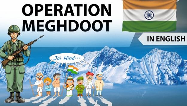
What was Operation Meghdoot?
Indian Armed Forces operation to capture the Siachen Glacier in the Kashmir region, precipitating the Siachen Conflict. Launched on 13 April 1984, this military operation was unique as the first assault launched in the world’s highest battlefield. The military action resulted in Indian troops gaining control of the entire Siachen Glacier.


Siachen – meaning ‘the place of wild roses’
The crest of the Saltoro Ridge’s altitudes range from 5,450 to 7,720 m (~18000 to 25,000 feet). The major passes on this ridge are, from north to south, Indira Col at 5,764 m Sia La at 5,589 m (18,336 ft) Bilafond La at 5,450 m (17,880 ft) Gyong La at 5,689 m (18,665 ft) The average winter snowfall is more than 1000 cm (35 ft) and temperatures can dip to −50 °C In 1970s Pakistan had commenced permitting foreign mountaineering expeditions into Siachen.

A German team sought Indian army’s permission in 1977 to climb from Indian side on Saltoro ridge – their maps showed entire Siachen as Pakistani territory In 1978, the Indian Army also allowed mountaineering expeditions Indian military mountaineers were sent up the Saltoro mountain range The most notable one was the one launched by Colonel Narinder “Bull” Kumar of the Indian Army, who led an expedition to Teram Kangri

The Indian Air Force provided valuable support to this expedition in 1978 through logistic support and supply of fresh rations. The first air landing on the glacier was carried out on 6 October 1978 Operation Ababeel was the code-name for the military operation planned by Pakistani Armed Forces to capture the Siachen Glacier in April 1984 Indian Army Launched Operation Meghdoot on 13th April 1984 and beat the Pakistani attempt by a few days Kumaon Regiment and the Ladakh Scouts

Today, the Indian Army deployment is up to forward positions along what is known as the Actual Ground Position Line (AGPL). Up to ten infantry battalions each of the Indian Army and Pakistani Army are actively deployed in altitudes up to 6,400 metres (21,000 ft).

Later Attempts by Pakistan
Pakistan launched an all out assault in 1987 and again in 1989 to capture the ridge and passes held by India. The first assault initially managed to capture a few high points before being pushed back.
Pakistan lost at least one major Pakistani post, the “Quaid”, which came under Indian control as Bana Post, in recognition of Bana Singh who launched a daring daylight attack, codenamed Operation Rajiv, after climbing 1,500 ft (460 m) of ice cliff.
Bana Singh was awarded the Param Vir Chakra (PVC) Bana Post is the highest battlefield post in the world today at a height of 22,143 feet (6,749 m) The second assault in 1989 was also unsuccessful
as the ground positions did not change.
1999 – Kargil War

Challenges at Siachen
• Altitude Sickness 5000 – 6000 m
• High Altitude Pulmonary Oedema
• High Altitude Cerebral Oedema
• Fatigue, loss of appetite
• Memory loss, sleep disturbance, confusion,
• Frostbites, Palpitations
• Avalanches

The cost
The military conflict over the Siachen glacier began in 1984 , catapulting it to the world’s highest battle zone and demonstrating the limits to which human endurance and military ingenuity can be pushed. An estimated 2,700 Indian and Pakistani troop have lost their lives so far 900+ Indian soldiers – acc to official Indian govt data
~ 1 crore rupees everyday to sustain the defence of the icy heights
Indian History | Free PDF
By Dr. Mahipal Singh Rathore
Facebook Id-> facebook.com/mahipalsinghrathore


 WhatsApp