Table of Contents
Background
- The man-made Hussainsagar lake was Hyderabad’s main drinking water source till the early part of the last century.
- But even as the city, established by Muhammed Quli Qutb Shah of the Qutb Shahi dynasty in 1591, expanded beyond the fortified walls of the Golconda,
- The heart-shape lake built across a tributary of the river Musi, was only one of the several hundreds of lakes that dotted the region.
Number of lakes
- In less than a century, the city has expanded from 55 sq.km to 625 sq.km under the Greater Hyderabad Municipal Corporation (GHMC).
- The jurisdiction of the Hyderabad Metropolitan Development Authority (HMDA) spreads over 7,257 sq.km covering parts of a few neighbouring districts as well, and had 2,800 lakes as per as 2017 estimate.
Why they were created?
- The water bodies were created for drinking water and irrigation purposes at a time when water management was considered crucial in this otherwise arid region for centuries.
- This network of man-made water bodies, interconnected by several natural waterways, ultimately led to the River Musi in most cases.
- Along with these small lakes, in the aftermath of the 1908 floods in Hyderabad,
- The Nizam government commissioned two big reservoirs, Osman Sagar and Himayat Sagar,
- On the periphery of the city to regulate the water flow from Musi and its tributary Esa.
Vanishing of rivers
- Discharge of sewage and industrial effluents, encroachments by government and private individuals, and decades of neglect had everyone thinking the river would never flow again.
- Most of the former waterways are open sewers now.
- But, on October 13, the river was in spate once again after a record downpour.
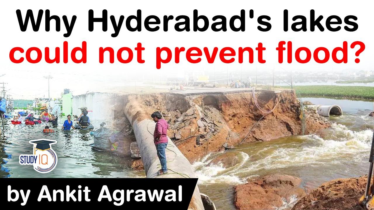
- Low-lying localities and colonies that were built on the lake beds and nullahs were submerged in no time.
- Many days later, hundreds of these colonies were still under water.
Krishna & Godavari
- Based on hydrology, present-day Hyderabad can be divided into Krishna and Godavari basins.
- In both Krishna and Godavari basins, the city has a network of lakes and drains which carry the excess water from one to another and then finally into the Musi and Majeera rivers.

- Senior Hydrogeologist BV Subba Rao says lakes were built in the past based on the natural topography and rainfall trends.
- “These were not created for flood control mitigation but as draught mitigation structures.
- Every 2 sq.km had a lake to ensure water for drinking and irrigation purposes to every habitation.”
The forgotten lakes
- Over the years, owing to the expansion of the city, the lakes were not in demand for their primary purposes of irrigation and drinking water.
- But they continued to be relevant for flood regulation.
- Despite this, in the last few decades, several colonies, as well as large real estate ventures, have come the buffer area — of lakes, large water bodies,
- That existed for centuries have shrunk in size, encroachments have eaten into natural waterways, and stormwater drains get easily clogged.
Loss due to flood
- As many as 33 lives have been lost to heavy rains and floods in the city, with the GHMC estimating that at least 37,409 families have been affected.
- The Municipal Administration minister pegged the city’s losses at Rs 670 crore.
Q) Which of the following best explain why the lower course of a river is sometimes chocked with sediments?
- Much of the river water is drawn for irrigation in the lower course.
- The valley of a river is widest in its lower course.
- The velocity of a river in its lower course is low.
- The delta sometimes develops in a rivers lower course.
- 1, 2 & 3 only
- 2 & 4 only
- 2, 3 & 4 only
- All of the above
Latest Burning Issues | Free PDF


 WhatsApp